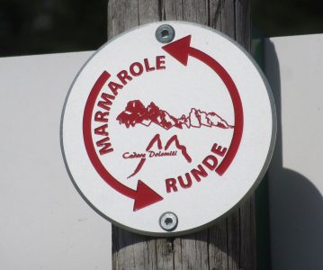
It is a new ring-shaped route which allows in 3 to 5 days to travel the whole Marmarole range, which extends for 13 km from west to east. The trekking begins in the valley parking at the base of mount Agudo. After reaching Rifugio Monte Agudo (1573 m), a path starts which takes to the large meadows of Pian dei Buoi. From there, an old military dirt road leads to Rifugio Ciareido (1969 m) and an amazing sight on the neighbouring mountains. The trekking goes on maintaining a constant altitude, passing by Rifugio Bajon (1826 m), and then Rifugio Chiggiato (1911 m). A steep road then leads to Capanna degli Alpini (1395 m), where the path to Rifugio Galassi (2018 m) and Forcella Piccola starts. After crossing the scree slope the route goes through Rifugio San Marco (1823 m) from which is possible to reach Forcella Grande (2255 m), the highest point of the whole route. After Forcella Grande the route crosses the Natural Reserve of Somadida to get back to the State road. From the State road the starting point is reachable by bus or taxi, or walking a couple of hours along the bike track.


